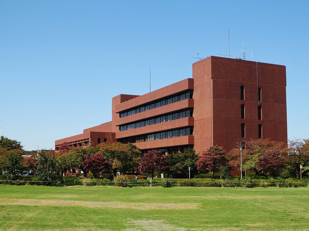
Mount Haruna and Lake Haruna — Initial D's home pass, Gunma 群馬県・榛名山と榛名湖
from Initial D 頭文字D
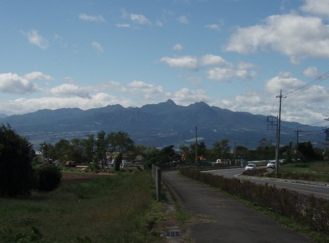

What you will find
Initial D's home course is Mount Haruna — renamed Akina in the story — and the whole Gunma entry in the anime-tourism list stands on this mountain: the lake at the top, the winding descent to the caldera rim, the tofu shop's dawn run made legend. Gunma's entry is registered prefecture-wide because the series' map is the whole northern Kanto mountain country — Akagi, Myogi, Usui — but Haruna is its centre of gravity, the pass where Takumi Fujiwara's legend starts and the one every fan climbs first.
Take the bus up as the story's passengers would suffer it: hairpin after hairpin to Lake Haruna, a calm caldera lake under the peaks, with the shrine on its shore and the ropeway up Mount Haruna-Fuji. The descent's corners are all there, numbered in fan memory. At the lake, the mountain is a family resort — boats, horses, campsites — wearing its racing fame with complete calm.
Visiting notes: these are ordinary public mountain roads with buses, cyclists and weather — spectate from the lake and the lookouts, photograph from safe ground, and leave the midnight runs to fiction, as this guide insists for every racing series. Winter closes the mountain's mood in ice; summer weekends bring the crowds the story made.
Facts
| Location | Takasaki / Higashiagatsuma, Gunma (Kanto) |
|---|---|
| Series | Initial D |
| Nearest station | Takasaki Station |
| Getting there | Takasaki Station (JR Joetsu Shinkansen) is the gateway; buses climb to Lake Haruna in about 90 minutes, and the mountain roads of the Haruna area spread from the lake. |
| On foot / last leg | Lake Haruna's shore paths begin at the bus terminus; the shrine is a short walk along the lake |
| Opening hours | Open at all times — public lake shore, shrine approach and mountain park |
| Admission | Free — public shore and park; ropeway and boats charged |
Practical details checked on 9 November 2026 against official or official-tourism sources where shown. Hours and fees can change — the official site, where linked, is the final word.
About this place
Mount Haruna (榛名山, Haruna-san) is a dormant stratovolcano in Gunma Prefecture, in the Kantō region of eastern Honshū, Japan.
== Outline ==
Mount Haruna started to form more than 300,000 years ago and the last known eruption was 550 AD. The volcano has a summit caldera containing the symmetrical cinder cone of Mount Haruna-Fuji, along with a crater lake, Lake Haruna, along the western side. To the west of the lake is Mount Kamonga, the tallest of Mount Haruna's numerous peaks at 1,449 meters (4,754 ft) high.
Background text: Wikipedia contributors, Wikipedia, CC BY-SA 4.0.
Keep exploring
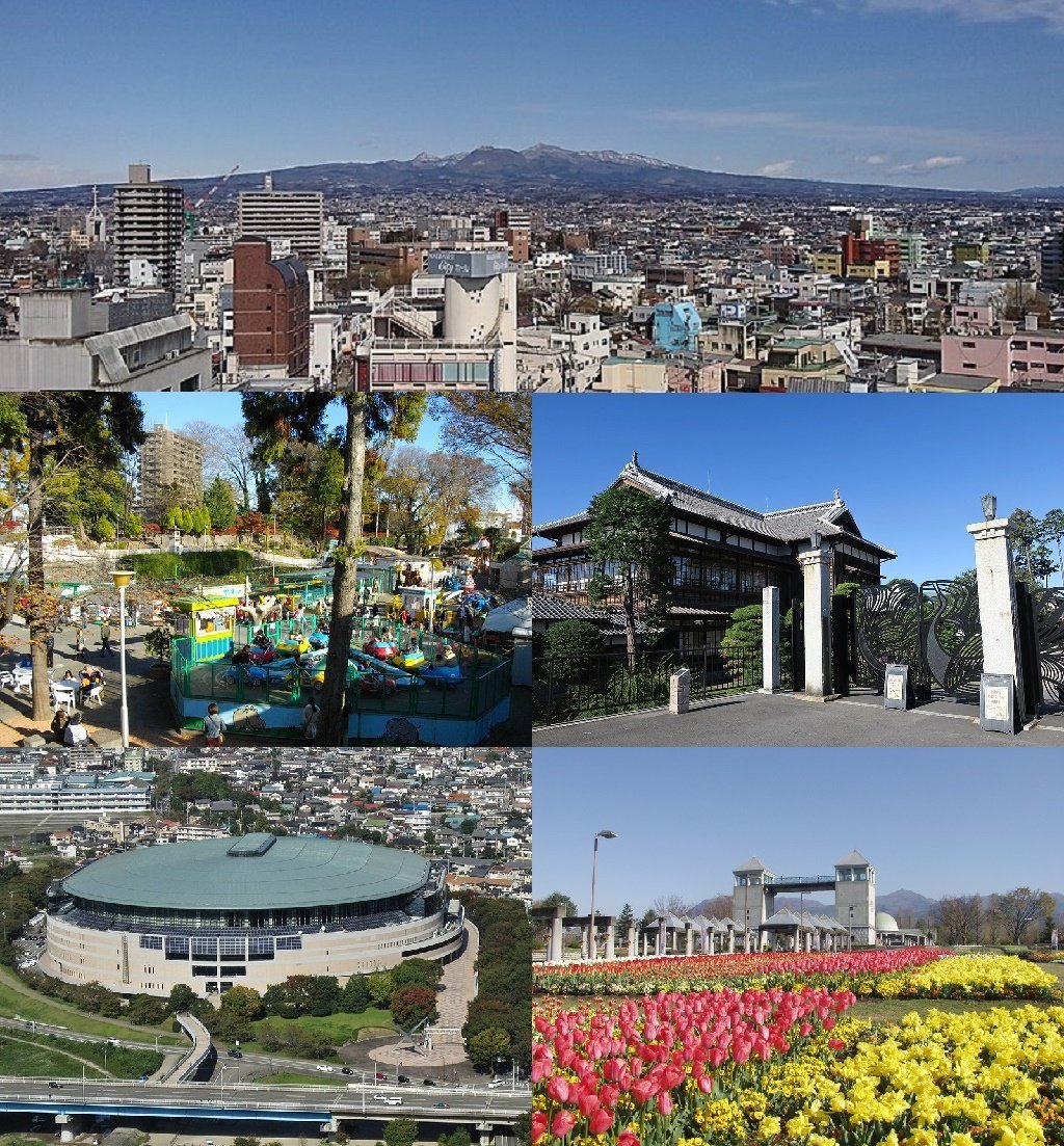
Maebashi — Rinkokaku and the prefectural capital of Maebashi Witches
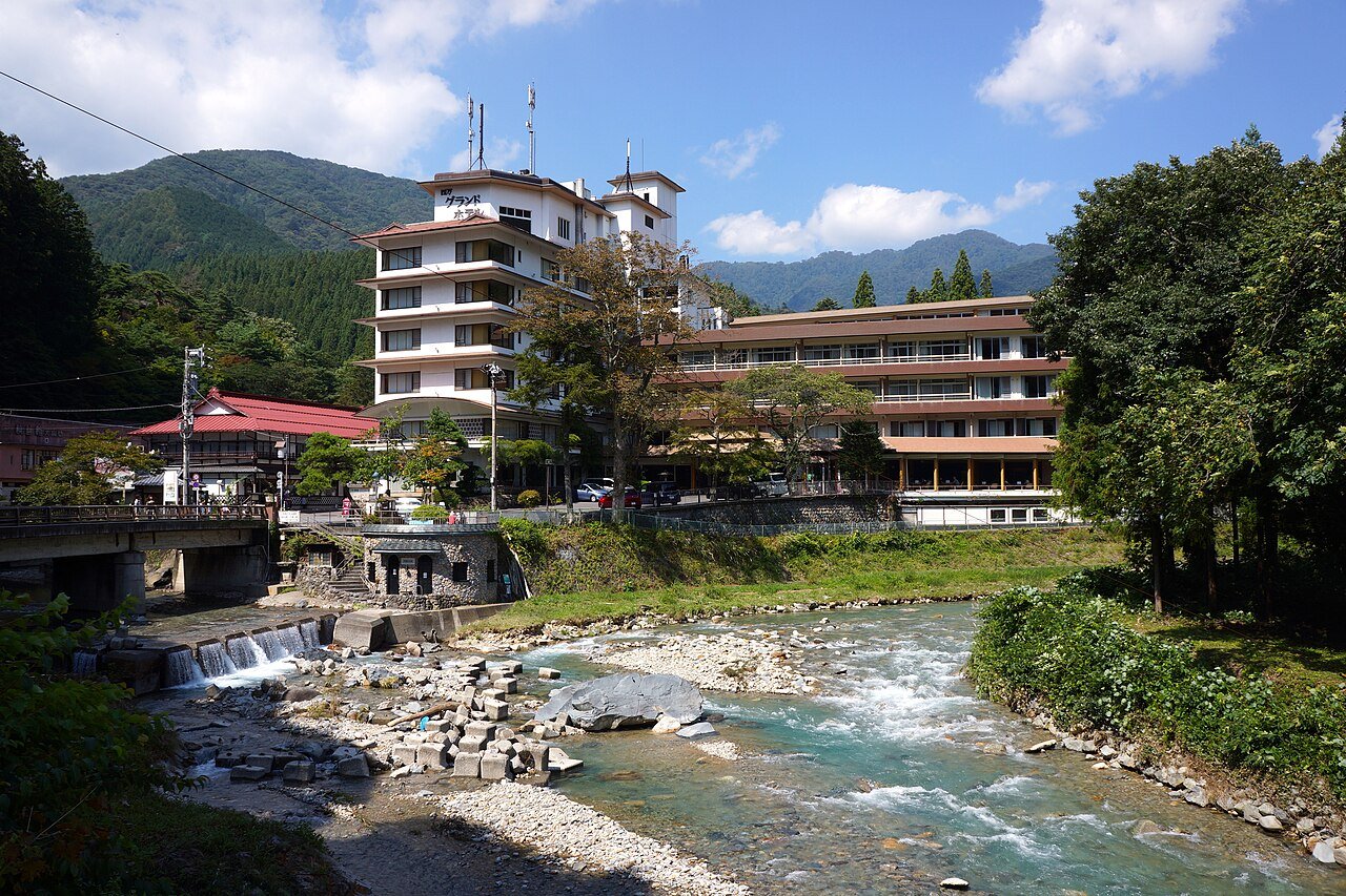
Sekizenkan, Shima Onsen — a bathhouse model